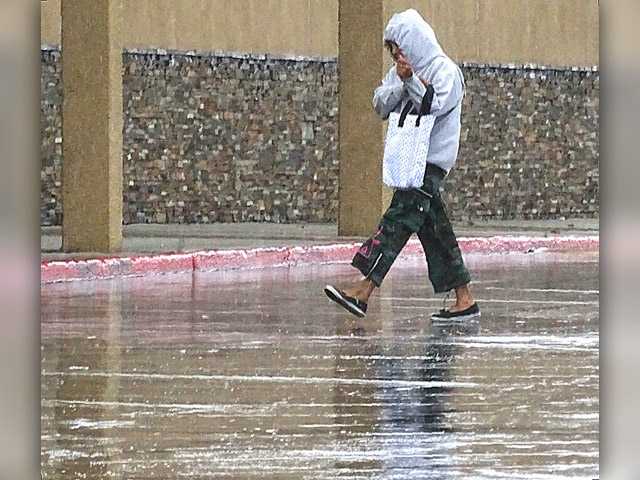
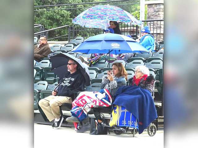
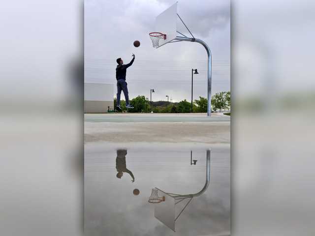
A sunny Santa Clarita Valley day turned suddenly cloudy and cold Tuesday, peppering Castaic with flakes of snow and Saugus with hail.
The brisk low-pressure system moving into the Santa Clarita Valley from the north brought with it lower-than-normal temperatures and some unusual precipitation, Weather Specialist Stuart Seto of the National Weather Service said.
“We’ve had some reports of snow flaking in Santa Clarita,” Seto said Tuesday. “One guy called me to say he saw snow at 2,000 feet.”
Residents across the Santa Clarita Valley reported flakes of snow, hail, rain and ice pellets.
Seto described Tuesday’s intrusive low-pressure system as “moisture starved” and said rainfall totals would be miniscule.
As a result, the pockets of precipitation — whether rain, snow or hail — were brief.
“We could see some heavy sudden downpours,” Seto said. “Ice pellets have been reported in Santa Clarita.”
Wind gusts were also anticipated to reach 30 miles per hour, he said, “just under what we would issue as a wind warning.”
Conditions allowing for the chance of thunderstorms pushed the possibility of snow to a much lower altitude, he said. Snow was forecast for 4,000 feet.
A check with California Highway Patrol officers at the Tejon Station along Interstate 5 through the Grapevine revealed cold temperatures but no snow as of 4 p.m.
“It’s always a concern when it happens,” CHP Officer Brandon Richards of the Tejon Station said about snow. “If that happens, drivers should reduce their speed” and keep a safe distances between themselves and the car in front of them, he said.
The low-pressure system was expected to move through the Santa Clarita Valley overnight, Seto said, with low temperatures expected to dip into the lower 40s.
The daytime high for Tuesday was logged at 62. Sunny, warmer days are forecast for the rest of the week.
661-287-5527
on Twitter @jamesarthurholt